Land Surveying & Geospatial Services
Precision and Professionalism
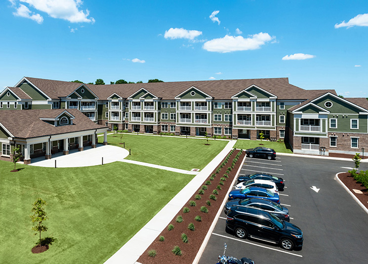
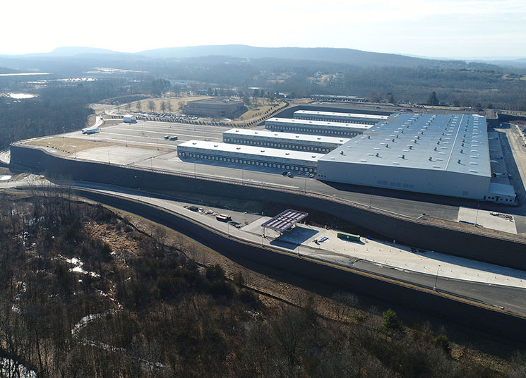
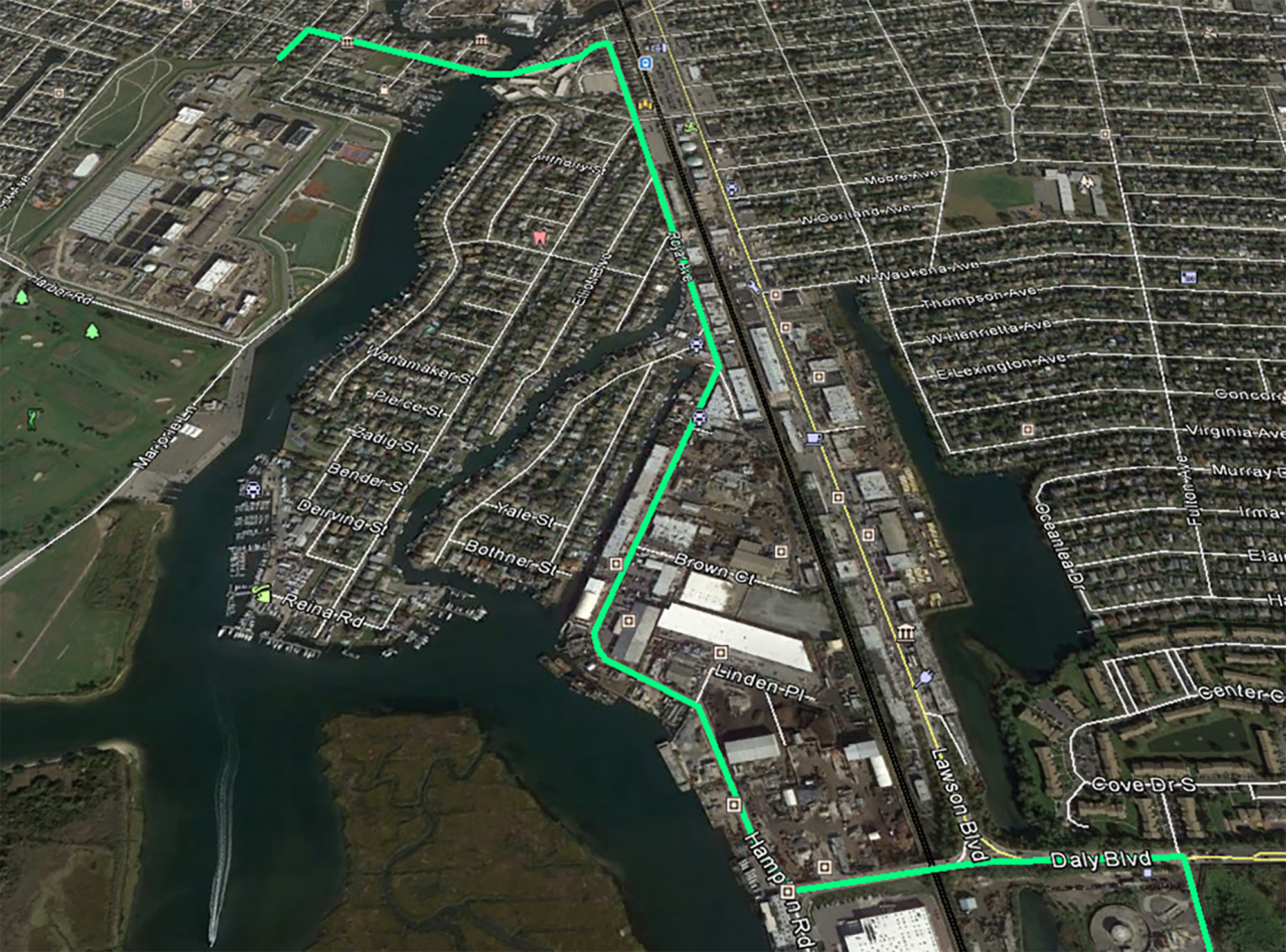
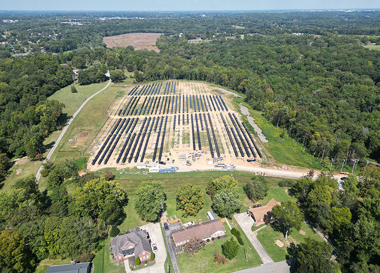
At BL Companies, our land surveying and geospatial services provide precision and detail to every project. We utilize the newest technology, equipment, and computer software to ensure that the data collected is both comprehensive and accurate. Whether it is from the air, ground, or below the surface, our land surveying capabilities provide engineers and architects with a complete and precise understanding of the site.
Our commitment to quality at BL Companies extends to our land surveying services, driving us to gather the most experienced and capable team of surveyors available in the industry. We are dedicated to professionalism as well as safety on the job site, making us your ideal partner for all of your land surveying needs.
Specialties
- GPS Services
- Property & Topographic Surveys
- ALTA/NSPS Land Title Surveys
- Utility Surveys
- Photogrammetric Control
- Unmanned Aerial Vehicle (UAV) Mapping
- High Definition 3D Laser Scanning
- Hydrographic Surveys
- Flood Elevation Certificates
- Railroad & Bridge Surveys
- Construction Layout
- Geographic Information Systems (GIS)
- Pipeline Surveys
- Subsurface Utility Engineering (SUE)